Meet The Team
We are a science-driven consulting company with a team of specialists who excel at delivering innovative, data-driven solutions across various sectors. Our experts, including Geoinformatics analysts, AI developers, data scientists, environmental planners, GIS and remote sensing professionals, combine advanced scientific knowledge with practical applications to address environmental challenges from local to global scales.
With a deep understanding of the fields like environmental monitoring, geospatial analysis, smart city planning, and risk management, we develop customized software and platforms that enable real-time decision-making and automated solutions. Our expertise spans areas such as climate resilience, urban sustainability, ecosystem conservation, and disaster risk reduction.
By integrating the latest advancements in AI, machine learning, and geoinformatics, we help businesses, governments, and organizations optimize their operations, achieve sustainability goals, and effectively manage environmental risks effectively. Partnering with us means working with a team that is committed to delivering impactful, long-lasting solutions that drive positive change and resilience for the future.
“When you partner with us, you gain access to a world-class team that is committed to driving impactful change and fostering resilience in the face of today’s global environmental challenges.”
Dr. Iraj GholamiCEO, Founder
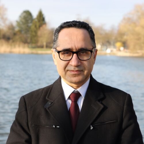
Iraj earned his PhD from Max Planck Institute in Germany with the team that played a pivotal role in detecting gravitational waves in 2015, an achievement that contributed to the Nobel Prize in Physics in 2017. With experience as a scientist at leading German and American universities, he has contributed to around 70 published papers in international journals, which has garnered approximately 10,000 citations giving him to holds a Google Scholar H-Index of 41. As a founder and CEO of multiple companies in Germany, he has successfully merged science and business, while also contributing to various NGOs and startups. His expertise spans a wide range of disciplines, including Physics, Mathematics, Statistics, Computer Science, Artificial Intelligence, Machine Learning, Data Science, Remote Sensing, and Entrepreneurship.
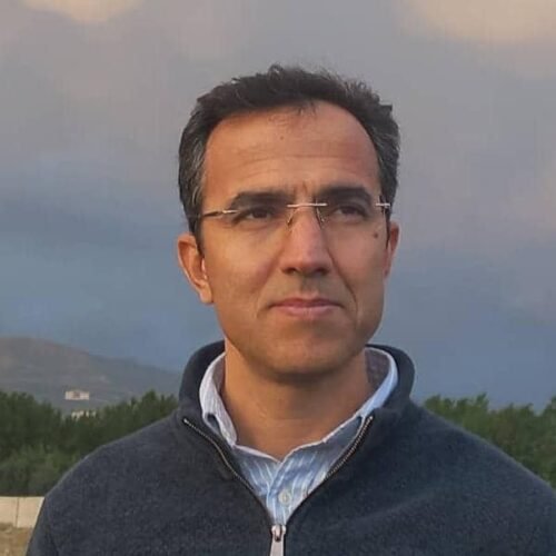
Full Professor of Remote Sensing and Geoinformatics, serving as a Scientific Consultant for UN-FAO, UNCCD, and UNEP, he brings extensive expertise in Geo-Environmental Modeling, Hazard, Vulnerability, and Risk Analysis. Ali is selected for the position of Co-Chair of the UNCCD Community of Learning and Practice (CLP) in 2025. Specializing in Applied Remote Sensing, his research and consulting work focuses on addressing global environmental challenges through advanced spatial technologies.
Ali is a Full Professor at the University. With nearly 20 years of experience, he has managed over 13 projects and supervised 40 MSc and PhD theses. His research focuses on GeoAI-based climate-smart monitoring, water resource management, and land use planning, aiming to mitigate climate change impacts and improve environmental well-being. Ali has published over 150 peer-reviewed works and led significant projects on climate change and land degradation.
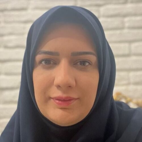
Associate Professor of GIS and Geoinformatics, specializing in Geo-Artificial Intelligence, Environmental-Health Modeling, and Applied GIS, Prof. Samani has been a faculty member at the University of Tehran since 2014. Her expertise spans spatio-temporal modeling, mobile GIS, and context-aware systems. She has made significant contributions to risk assessment in Geo-AI, machine learning for modeling disease distribution over time and space, and studying the effects of pollution on human health. She is also known for advancing geospatial techniques in developing countries, driving innovation in GIS and public health.
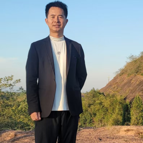
Yaozu Qin completed his Ph.D. in Geological Resources and Engineering and holds a master’s degree in Structural Geology. Currently, he is a employed at the School of Earth Sciences, East China University of Technology. His research spans 3D geological modeling, remote sensing, and geoscience big data analysis and mining. With extensive experience in mineral resource exploration, mining development, and geological hazard assessment, he has led numerous projects in geological resources and hazard mitigation, contributing valuable insights and publications to the field.
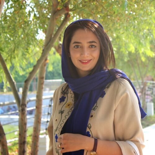
Sarina Ardavani is a leading expert in Regional Planning, specializing in the development of smart cities and polycentric regions. With extensive experience, she has spearheaded numerous projects focused on creating sustainable, connected, and innovative urban environments, particularly in coastal regions. Her expertise lies in designing smart, polycentric regions that prioritize sustainability, community engagement, and advanced urban planning strategies. Sarina’s work integrates cutting-edge analytical tools to tackle complex urban and environmental challenges, delivering forward-thinking solutions that drive smart and sustainable development. Committed to shaping dynamic and resilient cities for the future, Sarina’s leadership continues to redefine the possibilities of sustainable urban growth.
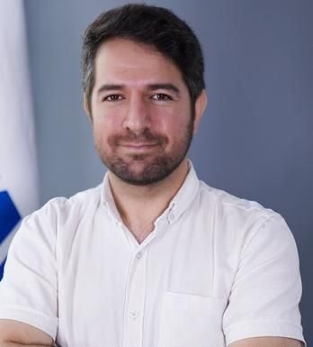
Hamed Jaliliani is a Software Developer specializing Mobile Applications, Blockchain, Web3 & AI and GeoInformatics. With over 13 years of experience in mobile software development, GeoInformatics projects, and enterprise FinTech industries—including banking, payments, and cryptocurrencies/blockchain—he has also excelled in IT project management. His work consistently pushes the boundaries of technology, delivering innovative solutions at the forefront of the industry.
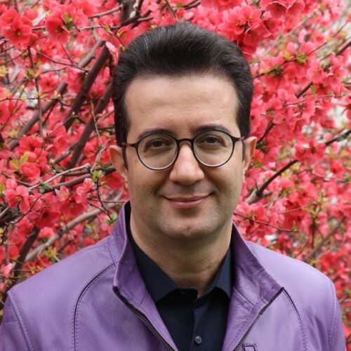
Associate Professor in Forest Science specializing in the application of Geospatial Data Analysis (GDA) in forest ecosystems, with over 15 years of experience using GDA to study natural processes and develop sustainable solutions for forest management and biodiversity conservation. He has contributed to numerous national and international projects, with his work extensively published in leading academic journals. His expertise helps us drive innovation in sustainable forest practices.
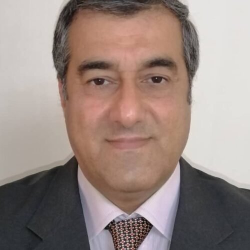
Ali holds a PhD in Environmental Management and Forest Ecology from the University of Göttingen, Germany, and served as Scientific Board at the Research Institute of Forests and Rangelands of Iran. As an expert in forest ecology, he has led numerous research projects on air pollution in industrial regions and the monitoring of forest ecosystems at high altitudes. As head of Resrach Division the Mountain Environmental Protection Society (MEPS), Ali advocated for the role of NGOs in natural resource conservation, forest fire prevention, and mountain ecosystem protection. He is also a member of the IUCN global mountain network. Ali’s eager to climate change mitigation include projects on atmospheric CO2 absorption through flood spreading and green cover initiatives. His work in phytoremediation, particularly with eucalyptus plantations, resulted in the publication of Heavy Metals and Phytoremediation (2015). He also completed The Climate Reality Project with President Al Gore and published Environmental Management of Global Warming and Carbon Sequestration (2021). He has delivered over 100 presentations at international and national scientific events and has played a key role in submitting a $14 billion environmental claim of Iran after Iraq-Kuwait War before United Nations Compensation Commission (UNCC), based on ground surveys and remote sensing data.
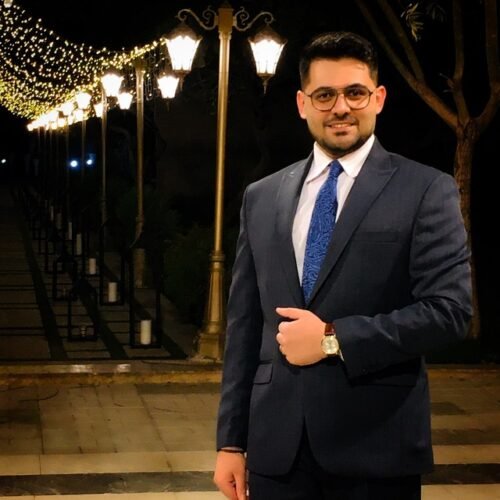
A scientist with expertise in Smart Local Planning, Clean and Zero-Carbon Energy, Sustainable and Healthy City Planning, Smart Healthy Cities, Urban Resilience, Climate Change, Smart Green Cities and Neighborhoods, Green Infrastructure, and Renewable Energy. With a diverse background in both academia and industry, he has contributed significantly to Smart Urban Regeneration and Local Planning on a global scale. Certified in Professional GIS, Python, SPSS, and various modeling software, he has successfully led and managed numerous urban projects, applying his academic knowledge to real-world challenges. As a Research and Teaching Assistant, he integrated his academic approaches into his publications, further strengthening the connection between research and practical applications.
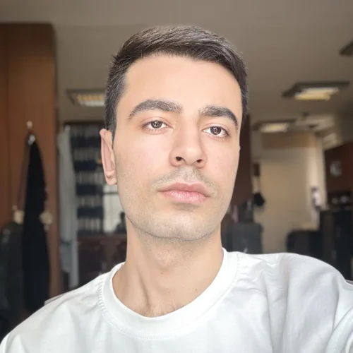
Results-driven IT professional with nearly 5 years of experience specializing in Network Security and Penetration testing . Possesses industry gold standard certifications, including OSCP. Adept at ulnerability assessment and penetration testing, committed to mitigating cyber threats and safeguarding digital assets. Holds a Master’s degree in Cybersecurity, complemented by a continuous learning mindset and engagement with platforms like Hack The Box and TryHackMe.
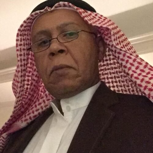
As a Senior Soil Management Scientist and Head of the Soil and Irrigation Section, Dr. Al Shankiti led and supported international research initiatives aimed at advancing sustainable land and water management. His work contributed to building institutional and human resource capacity through training programs, regional collaborations, and the dissemination of practical knowledge to stakeholders. He also served as a consultant in farm soil and water management, providing expert guidance on soil and water with a focus on science and technology solutions. From 2012 to 2014, he was a valued member of the Intergovernmental Technical Panel on Soils (ITPS) under the Global Soil Partnership (GSP) at the Food and Agriculture Organization (FAO).
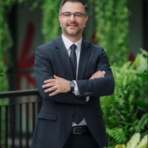
Dr. Sadroddin Alavi Panah has a strong background in environmental sciences with expertise in GIS and remote sensing. He has worked with organizations like WWF Germany and the German Aerospace Center (DLR). He also holds an international certification in project management from Deutsche Gesellschaft für Projektmanagement (GPM), strengthening his qualifications.
At the German Development Agency for International Cooperation (GIZ), Dr. Sadroddin led a four-year GIS project in Cambodia, focusing on data-driven strategies for sustainable growth in resource-poor regions. This experience gave him a deep understanding of the challenges in sustainable industrial and agricultural development.
His extensive experience managing projects across Europe and internationally has sharpened his ability to address complex challenges, making him a strong leader in driving innovative solutions.
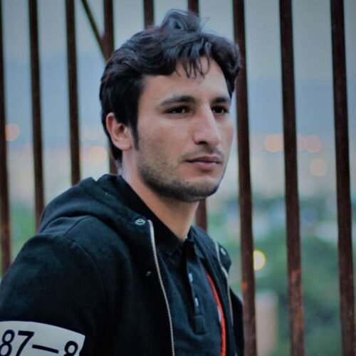
A Remote Sensing and Geoinformatics Specialist with extensive experience in modeling environmental hazards such as dust storms, drought, land subsidence, and land degradation. He is highly skilled in leveraging remote sensing data, artificial intelligence, and geographic information systems (GIS) for environmental analysis, risk assessment, and vulnerability studies. He has been involved in numerous national and international projects, including those focused on dust storm management, disaster risk reduction, desertification control, and sustainable water resource management. His collaborations include projects funded by Iranian authorities, the Food and Agriculture Organization (FAO), and the United Nations Convention to Combat Desertification (UNCCD). He has published nearly 20 papers in international scientific journals, and his recent work has concentrated on modeling, monitoring, and assessing the far-reaching impacts of climate change.

